Welcome to the NSW Rural Fire Service
Fires Near Me
This page displays all bush and grass fires attended by fire services in NSW and other incidents attended by NSW RFS volunteers.
You can click on any incident to see more information, and zoom in to see the latest mapped incident area. Incident maps may differ from the update time of each incident.
When there is insufficient information about an incident location, the incident may be placed in the centre of the local government area. These are marked as an unmapped incident.
-
Emergency Warning
-
Watch and Act
-
Advice
-
Incidents outside NSW
-
Not Applicable
Each incident is given a name to assist with managing multiple incidents. The name of an incident does not necessarily reflect the exact location of that incident.
| Incident Type | Incident Description |
|---|---|
| Bush Fire | Forest and/or Scrub Fire |
| Grass Fire | Grass Fire |
| Hazard Reduction | Planned controlled burns to reduce bush fire hazards |
| Structure Fire | A fire involving a residential, commercial or industrial building |
| Haystack Fire | Haystack fire |
| HAZMAT | The NSW RFS provides operational support to the Fire & Rescue NSW for hazardous materials incidents |
| MVA/Transport | Transport incidents including motor vehicle accident, aircraft incident and incidents involving a railway or railway rolling stock |
| Assist Other Agency | Assist other agency such as Fire & Rescue NSW, NSW Police, NSW SES, NSW Ambulance, Defence Force, interstate deployments etc |
| Search/Rescue | Search and Rescue, rescue animal |
| Flood/Storm/Tree Down | Assisting with Flood or storm damage or tree down |
| Vehicle/Equipment Fire | Vehicle or Equipment fire such as car fire, farm machinery fire, transformer fire etc |
| Burn off | Burn off such as stubble fire, pile burn etc |
| Fire Alarm | Automatic Fire Alarm or Domestic Smoke Alarm |
| Medical | Medical incident such as medical evacuation |
| Other | Other incidents such as smoke in vicinity, gas leak, building collapse etc |
| Status | Description |
|---|---|
Out of Control | A fire which is spreading on one or more fronts. Effective containment strategies are not in place for the entire perimeter. |
Being Controlled | Effective strategies are in operation or planned for the entire perimeter. |
Under Control | The fire is at a stage where fire fighting resources are only required for patrol purposes and major re-ignition is unlikely. |
| Alert Level | Description |
|---|---|
Emergency Warning | An Emergency Warning is the highest level of Bush Fire Alert. You may be in danger and need to take action immediately. Any delay now puts your life at risk. |
Watch and Act | There is a heightened level of threat. Conditions are changing and you need to start taking action now to protect you and your family. |
Advice | A fire has started. There is no immediate danger. Stay up to date in case the situation changes. |
Learn about fire bans in your area
View our fire danger ratings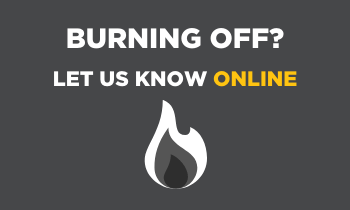
Notify us of your planned burn
If you’re planning to burn on your property, you need to let us know before you light up.
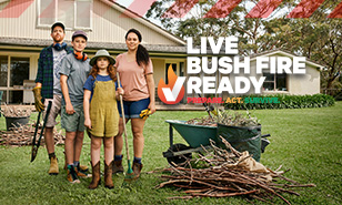
Live bush fire ready
We live with bush fire. So we live bush fire ready. Make your plan now.
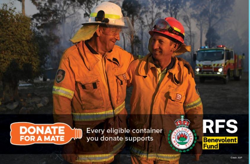
Return and Earn for RFS Benevolent Fund
The RFS Benevolent Fund has partnered with the ‘Return and Earn’ program to help firefighters and their families.
Bush Fire Risk Management Plans
Bush Fire Risk Management Plans set out the work we will do to deal with bush fire risk in your area.

