Page breadcrumbs:
Canobolas
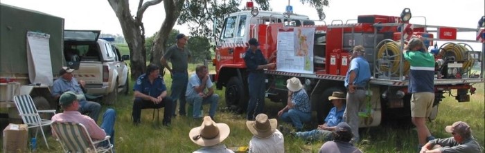
The Canobolas Zone is located in the Central West of NSW and combines the Rural Fire Districts of Blayney, Cowra, Cabonne and Orange. The Zone covers 10,636 square km including 310 square km under the control of State Forests and 354 square km of National Park. Our area is predominately undulating agricultural grasslands which are used mainly for grazing with the majority of cropping carried out in the in the Cowra District and in the western side of the Zone in the Cabonne area.


Fire information
Get information on current fires and other incidents

Plan and prepare
Prepare your home, your family and yourself for bush and grass fires

Hazard reduction
Hazard reduction is an important part of preparing for bush fires. If you see smoke, it could be from a hazard reduction. You can check the location of these activities here

About our area
Meet our staff and find out more about the NSW RFS in the Canobolas Zone

Photo and video gallery
See more of the work of our members in our photo and video galleries

Contact us
If you've got a question, comment, suggestion or complaint, you can contact the Canobolas Zone here....

