Page breadcrumbs:
Shoalhaven
The Shoalhaven local government area (LGA) is approximately 4660 km², spanning 160 kilometres of coast between Berry in the north to Durras Lake in the south and extends between 30km and 75km inland to the ranges encompassing extensive tracts of dissected sandstone country. Approximately 90% of the Shoalhaven LGA is identified as Bush Fire Prone Land and comprises approximately 27% private land with the remaining tenure as State Forest, National Park, Unoccupied Crown Land and Commonwealth Land.
The typical / average climate in the Shoalhaven area is generally mild with average temperatures ranging from 15.5°C in June to 26.5°C in January. Rainfall is more pronounced in Summer/Autumn with average annual rainfalls of 1110mm in Nowra and 1270mm in Milton. The bush fire season generally runs between September and March each year.
The Shoalhaven area has on average 600 bush fires per year, of which an average of twenty fires can be considered to be major fires requiring response by two or more fire authorities. The Shoalhaven can experience significant fire activity at any time of the year and fires in isolated parts of the LGA may burn for several days.

Latest News
The latest news from the NSW RFS Shoalhaven team.
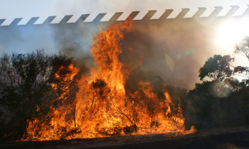
Fire information
Get information on current fires and other incidents
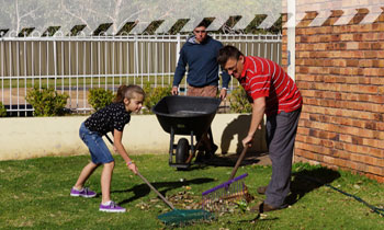
Plan and prepare
Prepare your property, family and yourself for bush and grass fires.
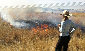
Hazard reduction
Hazard reduction is an important part of preparing for bush fires. If you see smoke, it could be from a hazard reduction. You can check the location of these activities here.
About our district
Meet the team at the NSW RFS Shoalhaven.
Contact us
If you've got a question, comment, suggestion or complaint, you can contact the Shoalhaven District here.


